
Help shape your community's future
If you live, work or play in the Whakaraupō Lyttelton Harbour area, then make sure to have your say before 10 December 2023 about the proposed options for adapting to the impacts of sea-level rise.
Go online to letstalk.ccc.govt.nz and let us know what you think about the draft adaptation pathways for Allandale, Koukourarata Port Levy, Purau, Teddington, Southern Te Wharau Charteris Bay and Rāpaki.
All feedback is helpful – so tell us your thoughts. It'll help guide the management of roads, reserves and other public infrastructure over the coming decades, so it’s important we hear from you.
Spread the word and make sure your friends and whānau living in the area also have a chance to shape their futures.
Join us for our final webinar
We're holding one more webinar for people to find out more and ask questions. The first two webinars have been recorded and will be uploaded to our website.
Upcoming webinar:
Purau and Koukourarata Port Levy
Tuesday 21 November, 6–7.30pm
Register to attend
Should we look back to move forward?
Across Whakaraupō Lyttelton Harbour and Koukourarata Port Levy we already have a lot of marine infrastructure – like jetties, wharves and boat ramps – which has been built over the past decades.
With our roads under increasing threat from the impacts of sea-level rise, we could look to learn from the past and build up the resilience of this infrastructure, giving us another way to move around the harbour in the future.
Image caption: "Visitors arriving on steam pinnace 'Canterbury' at Governors Bay about 1905." Supplied by Canterbury Museum.
Watch and learn from our new videos
We've created two new videos that help to answer some important questions, like:
- What's a draft adaptation pathway?
- How has the Coastal Panel developed its draft pathways for the Whakaraupō Lyttelton Harbour area?
- How are public assets, like roads, pipes and wharves, affected by sea-level rise?
- What will be the impact on local environments and mahinga kai (food-gathering) values?
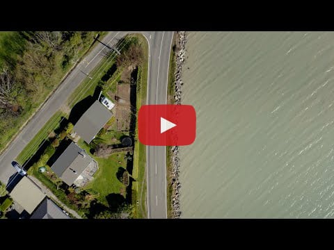
Check out the new videos below.
New CoastSnap site in Corsair Bay
Motu-kauati-iti Corsair Bay is home to a new CoastSnap site, the fifth in the district and the first in Whakaraupō Lyttleton Harbour.
CoastSnap is a community science initiative that means everyone can play a part in monitoring how our coastlines are changing over time.
Simply put your phone or tablet into the CoastSnap cradle and follow the instructions to upload or email us your image. Every image counts.
With your help, we'll build a bank of images that can be directly compared and analysed, helping us to see changes in sea levels and the shape and size of the beach over time and after storm events.
This is no ordinary CoastSnap site. It sits alongside a display of tiles that were painted by members of the Whakaraupō Lyttleton Harbour community in 2022, showcasing what they love about living in the area. The reverse side of the tile board features a nod to the past, with a historic image of Corsair Bay showing us just how much things can change over time.
Whether you want to take a moment to appreciate the past, admire what the current generation has expressed on their tiles, or be a part of our monitoring for the future, it’s worth a trip to check it out – and get snapping!

The new CoastSnap site in Motu-kauati-iti Corsair Bay.
You've received this newsletter because you're subscribed to updates from Christchurch City Council. To opt out, simply click 'Unsubscribe' below.


